Trek · Gorkha and Manang · 2025
Manaslu Circuit
Eight days on the Manaslu Circuit with four friends: our day-by-day itinerary over Larkya La (5,160 m), plus tips on altitude, network and cash.
Published
- 8
- days
- ≈ 100 km
- on foot
- 5,160 m
- highest point, Larkya La
- When
- Late April 2025
- With
- Five of us, friends; one on her first trek ever
- Stay
- Hotels and teahouses all along the route, well run and not expensive
- Getting there
- Night bus from Kathmandu to Machhakhola, then a jeep to Jagat
- Getting back
- Jeep from Tilche to Besisahar, then a night bus to Kathmandu
Day by day
- Day 1Deng1,860 m
Trekking permits at Jagat, then on foot
- Day 2Namrung2,630 m · ↑ 770 m
Apple juice and bakery at the orchard below the village
- Day 3Samagaon3,520 m · ↑ 890 m
Lunch at Lho, then through Shyala
- Day 4Samagaon3,520 m
An extra day for the monasteries nearby
- Day 5Samdo3,860 m · ↑ 340 m
A cold plunge in Birendra Tal first
- Day 6Dharmasala4,480 m · ↑ 620 m
Snowfall most of the way
- Day 7Chauli Kharka3,025 m · ↓ 1,455 m
Up at 3 AM; Larkya La by 8, with a birthday pie; lunch at Phedi
- Day 8Tilche2,260 m · ↓ 765 m
Through the forest, then a jeep out to Besisahar
Right up to the day we left, my friends and I were still doubtful about the whole trek ahead of us. None of us knew all of it beforehand, obviously. Still, we shopped around for trekking supplies, hopeful about the days ahead. There were five of us: four friends and me. For one of them it was her first trek ever. Hats off to her: Larkya La is a big first pass.
We left Kathmandu on the night of April 26, on a bus from the bus park to Machhakhola. A heavy breakfast there, a jeep up to Jagat for our trekking permits, and from Jagat we were on foot, walking upstream along the Budhi Gandaki. We reached Deng that first day.
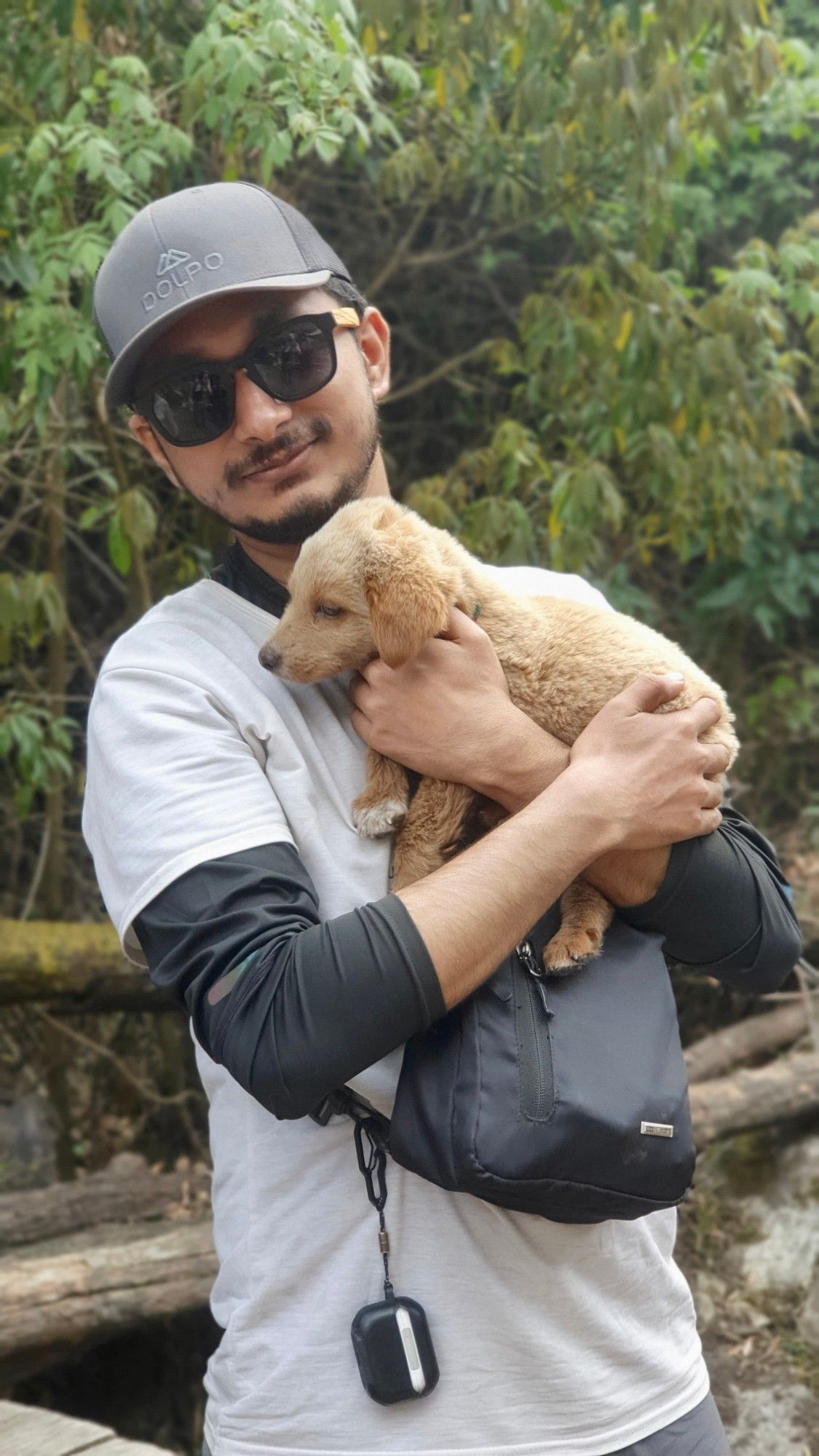
The next morning we set off for Namrung, with snacks in between. Just before the village there is an apple orchard, and I still remember the apple juice and the bakery there: delicious, and exactly what our legs needed.
Namrung to Samagaon was another long stretch. We started with a normal breakfast and could not wait for lunch at Lho. I did not want to leave Shyala: a beautiful village with snow-capped peaks all around it. Then the open, flat valley of Samagaon welcomed us like nothing I had seen before. It was like heaven. It was also where the cold really started to get to us.
We stayed an extra day in Samagaon to visit the monasteries nearby. The morning we left, we took a cold plunge in Birendra Tal. It touched and pierced my heart. The straight stretch to Samdo after that felt like a dream.
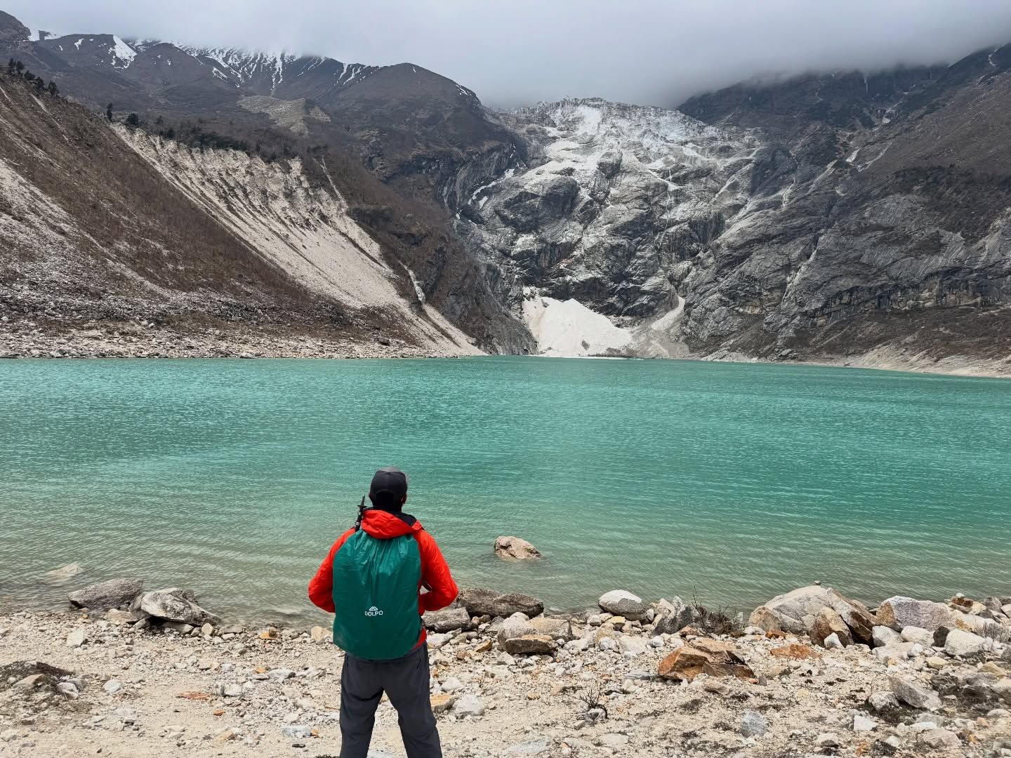
From Samdo we left for Dharmasala, and the snowfall along the way was surreal, literally. We woke at 3 AM for Larkya La (the Larke Pass) and reached the top at around 8.
The moment we reached the highest point, I felt euphoric. All the hard work, day after day, every step along the route that had brought us to the top: it all came back to me in a flash. It was also a friend’s birthday that day. We had carried an apple pie from Samdo, and he cut it at the top of Larkya La.
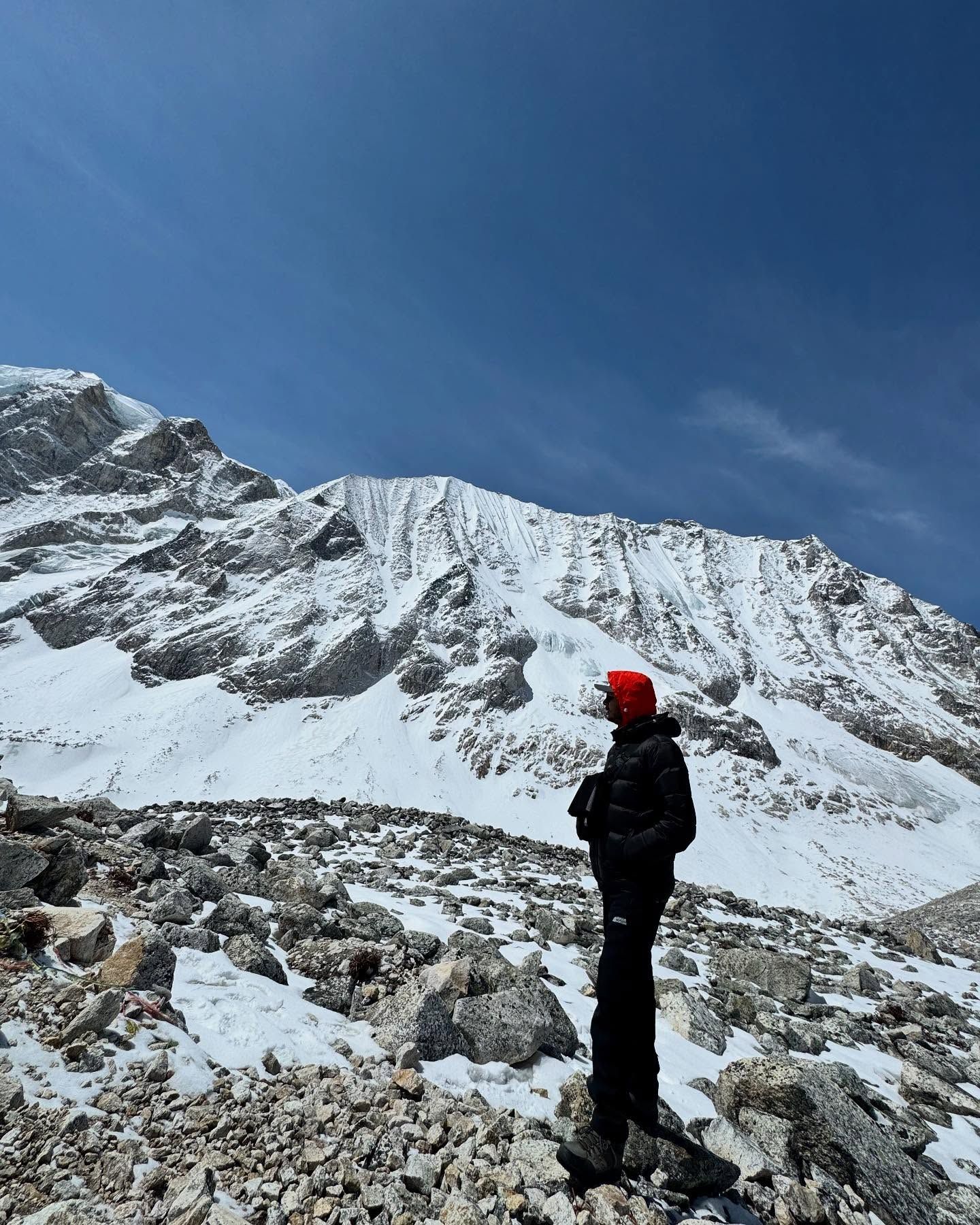
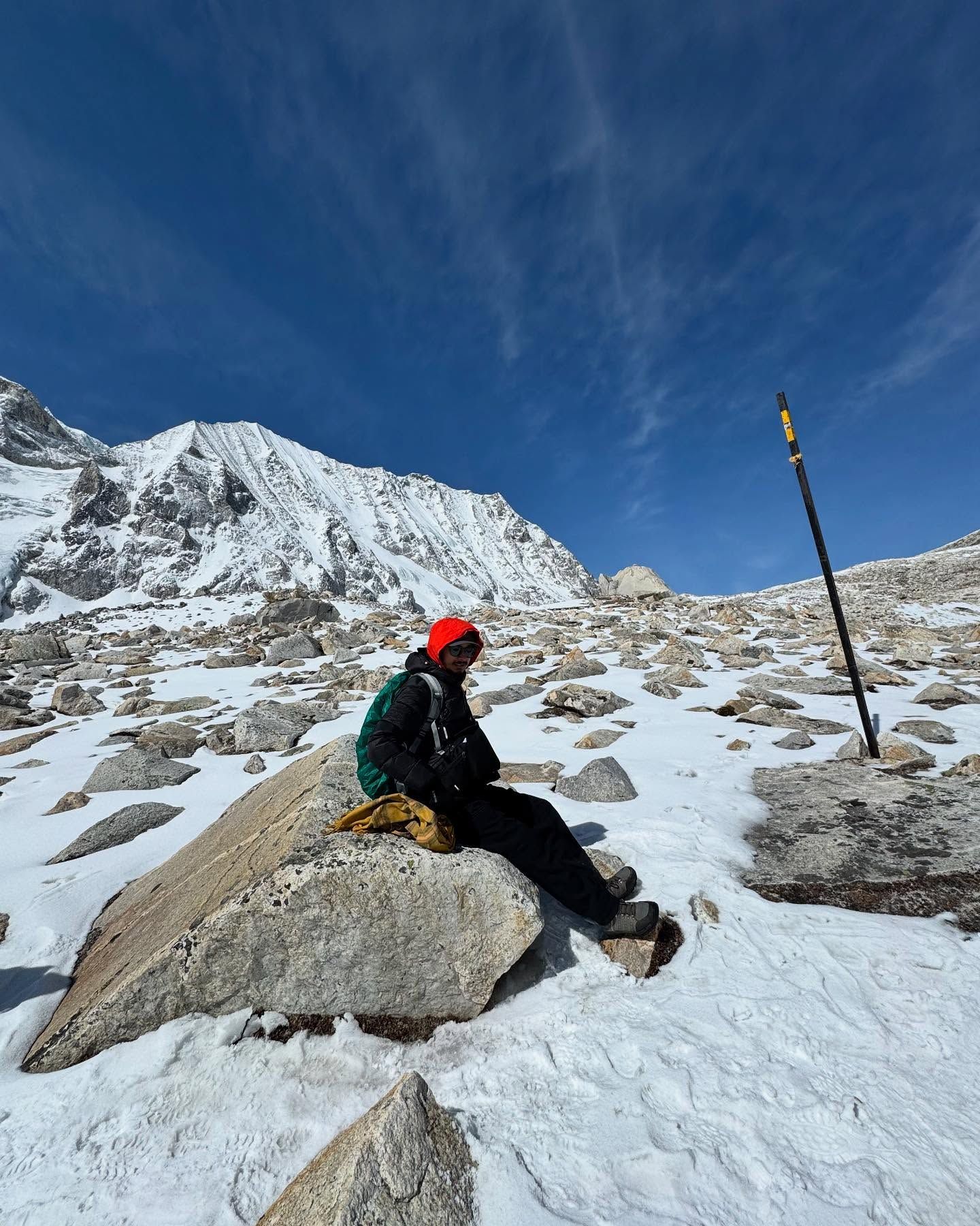
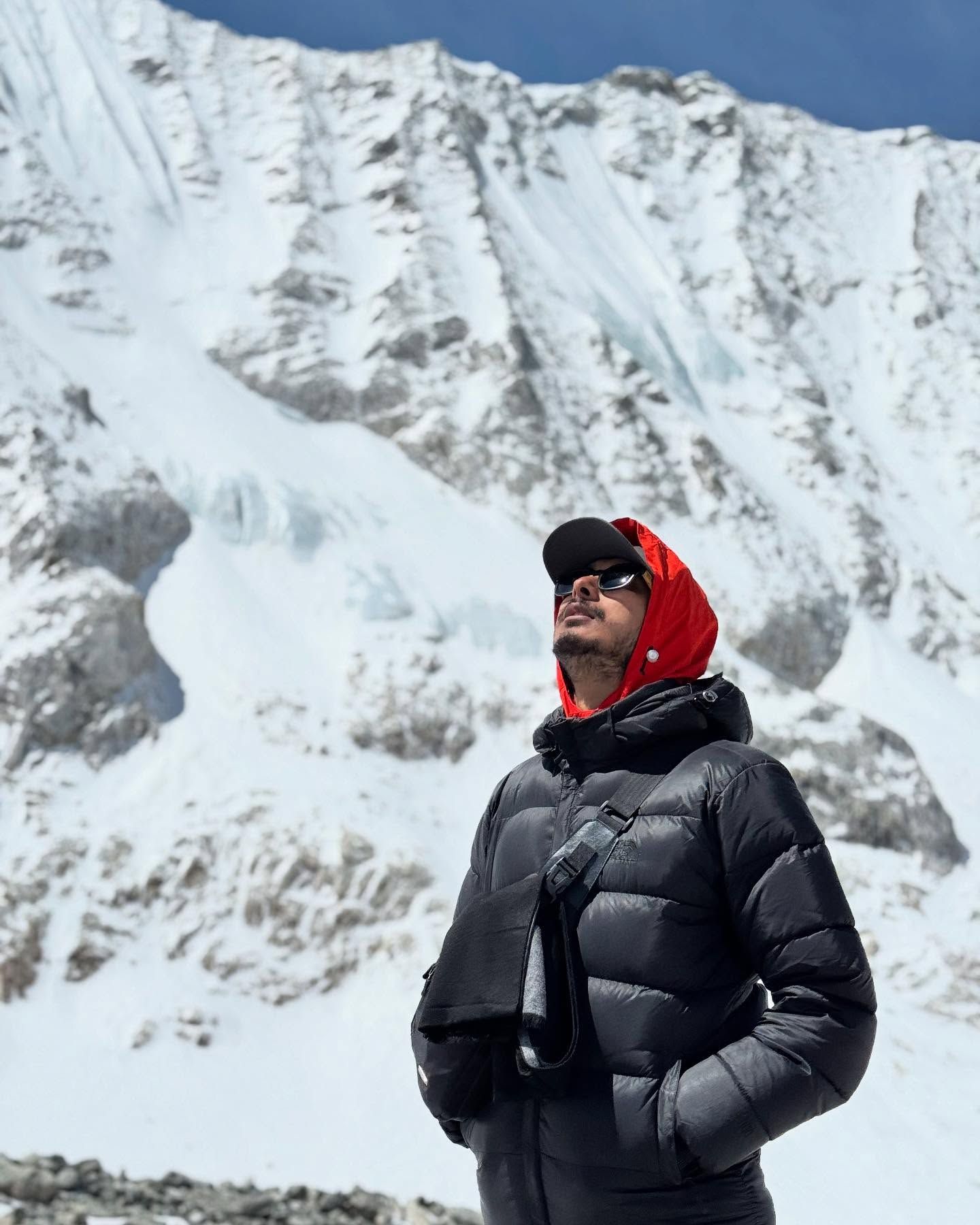
Then we descended towards Manang along the Dudh Khola: lunch at Phedi, past Bimthang, and a night at Chauli Kharka, a little lower down.
The last day took us on down the Dudh Khola, through the most beautiful forest I have walked through, in the Annapurna Conservation Area, to Tilche, where we caught a jeep to Besisahar and a night bus back to Kathmandu.
People along the way
The trekkers we met along the way were helpful, warm and inspiring, and the guides with other groups were just as welcoming. There were very few domestic trekkers while we were there; most were from other countries, and every one of them had a different life story to tell.
The hard parts
The hardest parts were the long stretches between stops. The weather, at least, was on our side the whole time. One tip: snow spikes on your boots are really, really helpful on the day you cross the pass.
Altitude sickness is real
If you are planning this trek, please take this part seriously.
- Carry an SpO2 monitor (a pulse oximeter) and check yourself every day. Smartwatches have one built in, but they may overestimate the readings.
- Drink lots of warm water. Bring a thermos and refill it wherever you can.
- Keep altitude-sickness tablets with you; pharmacies in Kathmandu sell them. Above 3,000 m we found them a must. Check with a doctor before you take them, as they don’t suit everyone.
- Pack medicine for diarrhoea, plus paracetamol.
- Listen to the guides along the way.
- Always be aware of your own body, and keep checking on your friends.
- Don’t take unnecessary risks.
Good to know
- There is no mobile network above Samdo until you reach around Surki Khola or Tilche. Plan for a few days offline, and tell people at home.
- Download offline maps in an app like maps.me before you go. They help you find your way when the trail gets confusing, and plan the day ahead.
- Carry extra cash. Most places accept QR payments, but not all, and not always.
Don’t litter the trail; carry your rubbish back down. Be civil to the people who live and work along the route, and help keep this trek as good as it is.
Looking back
The trek felt a little rushed because of the limited time we had, and I feel we missed a lot.
If I did it again, I would stay at least a night in Shyala, and another night in Samagaon for the monasteries. I would take an extra day at Bimthang to savour the Annapurna Conservation Area. The view of Ponkar Tal on the way down from the pass was to die for.
If you are planning this trek, take at least 10 to 12 days and really enjoy everything on the route. It’s amazing.
Planning this trip, or have a question about it? Write to hello@shresthaoshan.com.